Follow us on LinkedIN for regular updates!


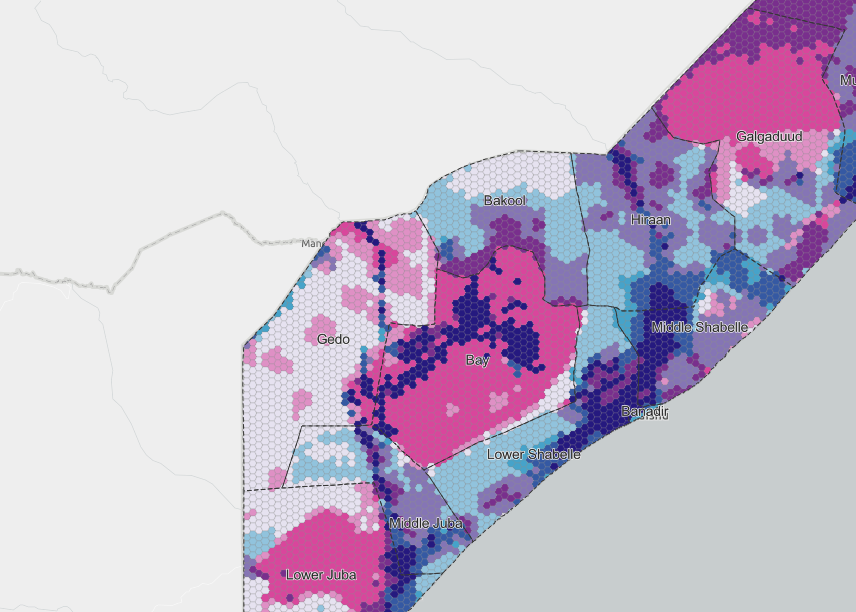
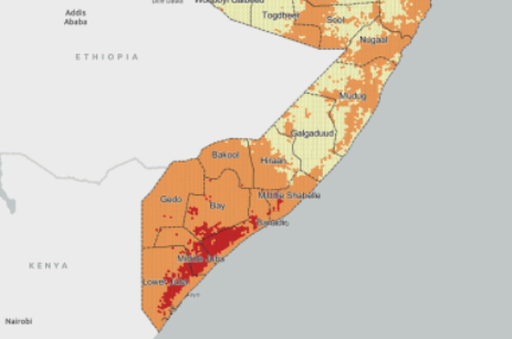
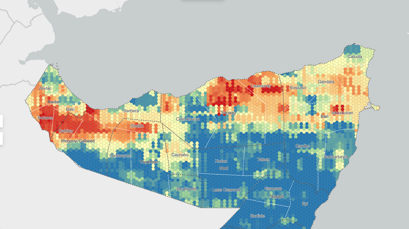
The Somalia Compound Risk Assessment Mapping (CRAM) platform helps SSF III and partners visualize and analyze multiple layers of risk across Somalia. Follow these steps to make the most of the map:
Layers Panel:
On the left side of the platform, you’ll find a list of data layers—such as Drought Hazard Index, Conflict Intensity, Population Density, and more.
Each layer represents a different type of risk or factor included in the CRAM analysis.
Show/Hide Layers:
Click the eye icon next to a layer’s name to show or hide it on the map.
You can activate one or multiple layers at the same time to see how different risks overlap.
CRAM July 2025 (AHP Weighted): The main composite risk map for this quarter, combining all updated indicators into a single score using expert weighting.
CRAM Exposure July 2025: Shows where the population is most exposed to compound risks.
Drought Hazard Index (DHI): Identifies areas facing drought, especially important during farming seasons.
Flood Hazard Index (FHI): Highlights regions with higher risk of flooding.
Settlement Growth Trend (NTL): Displays which settlements are growing or shrinking, based on night-time light data (a proxy for urbanization or displacement).
Population Density: Visualizes how people are distributed across Somalia.
Conflict Intensity (first half 2025): Maps recent violent event hotspots (from ACLED).
Land Productivity Decline (LPD): Shows where productive land is being lost (environmental degradation).
Projected Food Insecurity (IPC): Displays the latest food insecurity risk by IPC phase.

Find the Legend:
For every layer you turn on, you’ll see a legend explaining what the colors or values mean.
Look for the legend icon in the top left of the dashboard.
Interpreting Values:
If a Legend is Missing:
Make sure the layer is toggled on. If you still don’t see it, contact the CRAM focal point for assistance or request a digital/printable legend.
Use the + and – buttons to zoom in and out.
Click and drag to move around the map.
District names and boundaries become clearer as you zoom in.
You can compare layers to identify “hotspots” where risks overlap, however, only the top layer will show if several are turned on at the same time. The CRAM layer is an aggregation of all layers showing overlapping areas that may need special attention or priority action in planning.
We are working on future versions where layers to include in an overlayed aggregation can be manipulated and selected by the user.
The CRAM is built from publicly available, open-source data and follows a transparent, modular risk classification methodology grounded in international good practice.
Below is a breakdown of the layers currently integrated into CRAM. These are grouped by the types of risk they assess:
1. Flood Hazard Index (FHI)
Identifies areas prone to flooding by modeling rainfall, slope, drainage, and historical flood events. High FHI values signal elevated flood risk.
2. Palmer Drought Severity Index (PDSI)
Captures drought severity using satellite-derived rainfall and temperature data. Weighted to emphasize critical farming seasons (Gu and Deyr), providing a climate-sensitive risk view.
3. Land Production Degradation (LPD)
Shows zones experiencing loss of productive land due to overuse, erosion, or climate stress. Derived from vegetation indices and land use change data.
4. Land Production System (LPS)
Categorizes livelihood zones into:
5. Population Exposure Index
Combines satellite population density and poverty data to identify areas with high human exposure to risks.
6. Built Environment Change
Uses night-time light data and satellite imagery to track urban expansion or settlement contraction over time.
7. Conflict Proneness Index
Assesses underlying conflict risks using five sub-indicators:
8. Conflict Intensity Heatmap
Visualizes real-time conflict hotspots from ACLED data across the past 24 months. Hotspots are highlighted in red.
9. Political Influence Map (Planned)
Future layer to map territorial control or contested zones based on field intel and third-party reports.
10. Integrated Phase Classification (IPC)
Mapped food insecurity data from FEWS NET and other sources, normalized to CRAM’s risk scale. Areas in IPC 4/5 are marked as Very High Risk.
11. Forecast Risk Trends (Narrative Layer)
Each quarterly update includes qualitative forecasts of risk evolution based on changes in drought, conflict, and market trends.
The CRAM methodology applies the following principles:
Normalization: All input layers are scaled to a common range to allow aggregation and a multimodal risk index.
Thematic Scoring: Separate indices are generated for key risk dimensions — including exposure, conflict proneness, displacement, and food insecurity.
Bivariate and Multivariate Overlays: Areas of overlapping risk (e.g. displacement + drought, or conflict + IPC) are flagged through composite indices.
Classification: Final risk scores are categorized into intuitive levels (e.g. Low, Moderate, High, Extreme) using percentile thresholds or domain-specific cutoffs.
Seasonal Updating: Data is refreshed quarterly, timed with Somalia’s seasonal calendar, to capture emerging trends and improve decision-making windows.
Validation: Periodic ground-truthing, cross-referencing with partner data, and expert review enhance reliability.
Disclaimer
The CRAM platform is intended to support situational awareness and programmatic planning. While every effort has been made to ensure data quality and consistency, outputs are based on open-source inputs that may contain gaps or delays.
Users should treat the CRAM as a complementary decision-support tool, not a substitute for field verification or in-depth context analysis.
Critical operational decisions should be informed by multiple sources, including local partners and real-time local intelligence.
Contact
For inquiries, feedback, or collaboration opportunities, please contact:
Kristian Svendsen at Kristian.Svendsen@cmc-consult.eu
This layer represents the AHP-weighted composite risk map for Somalia as of April 2026, integrating conflict, climatic, displacement, and food-security indicators into a unified compound risk index. It captures conditions across the 1 February – 23 April 2026 reporting window — the late Jilaal dry season transitioning into the first weeks of the Gu 2026 rains.
Input layers:
Contextual layers (carried for analysis, not in the composite):
Livelihood Production Systems (FAO zones) and population exposure. The forward-looking MHDP quarterly projection is retained as a separate reference layer outside the scored composite.
Analytic Hierarchy Process (AHP) weights — 2026-Q2 (Late Jilaal / Early Gu), CR = 0.008:
This configuration emphasises food insecurity and current displacement burden as the dominant compound-risk signals through the Jilaal → Gu transition, with conflict and drought sharing equal mid-range weight. Flood risk remains floored this cycle — no hex crossed the "Very High" threshold in the rolling 90-day window.